
Day 3 of Leh Ladakh trip
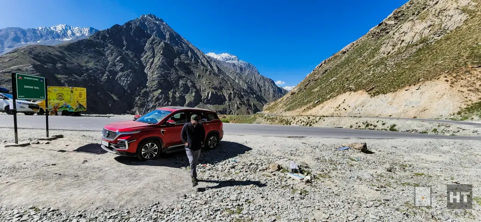
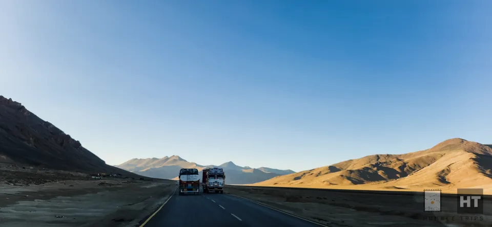
The sun had barely begun its ascent when we embarked on Day 3 of our adventure, hitting the Manali-Leh highway after a hearty breakfast at 9 AM. Little did we know, this day would be defined by unforeseen challenges and remarkable triumphs.
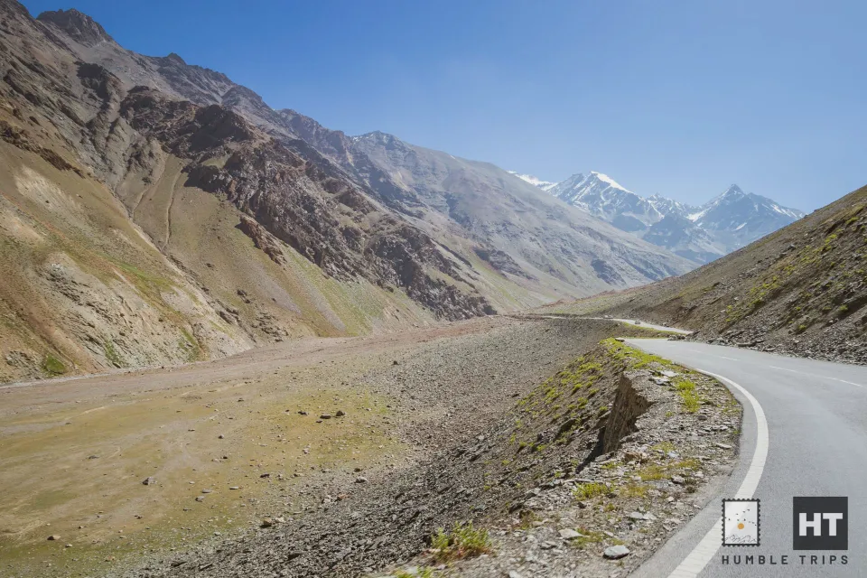
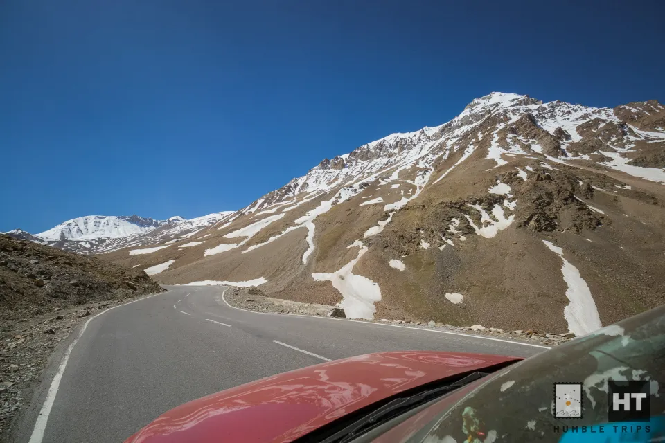
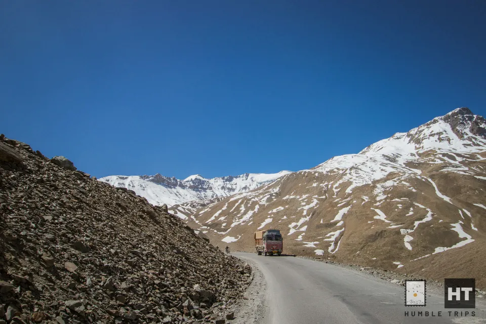
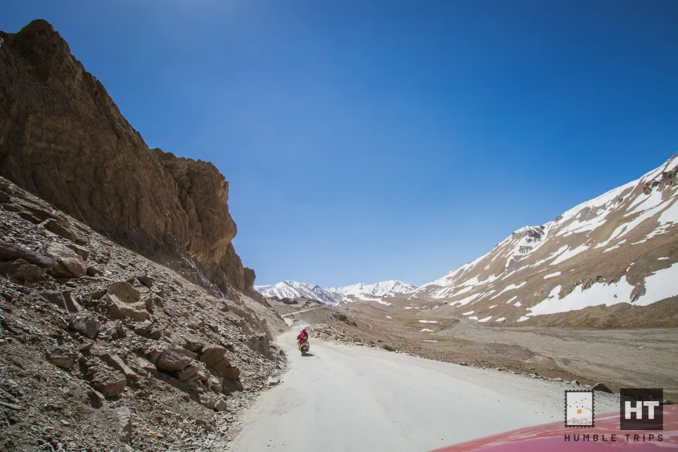
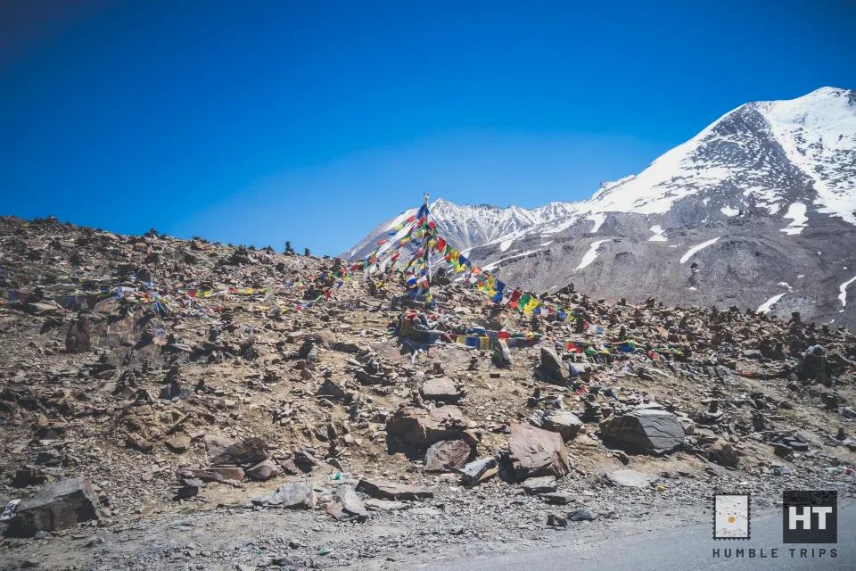
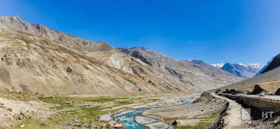
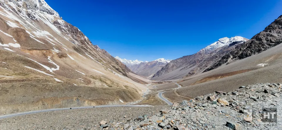
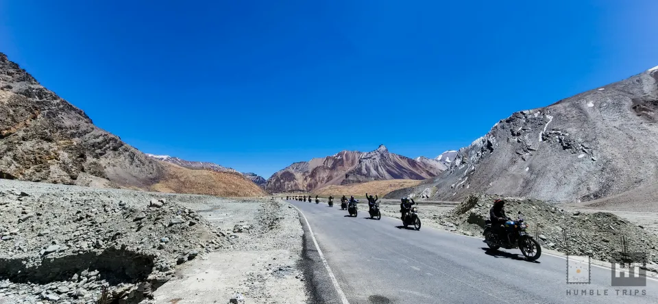
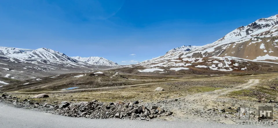
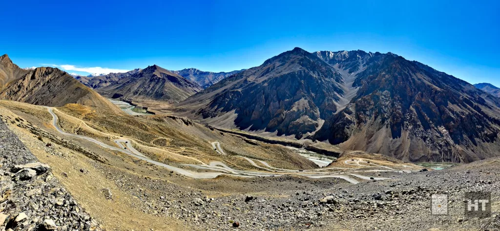
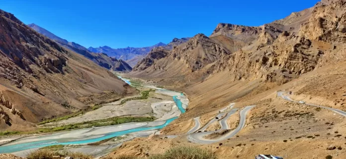
Winding through passes towering at approximately 16,400 feet and 17,480 alongside breathtaking panoramas, the Manali-Leh road offers an alternative to the Srinagar-Leh route. It remains a revered destination for bikers and an oasis for thrill-seekers.
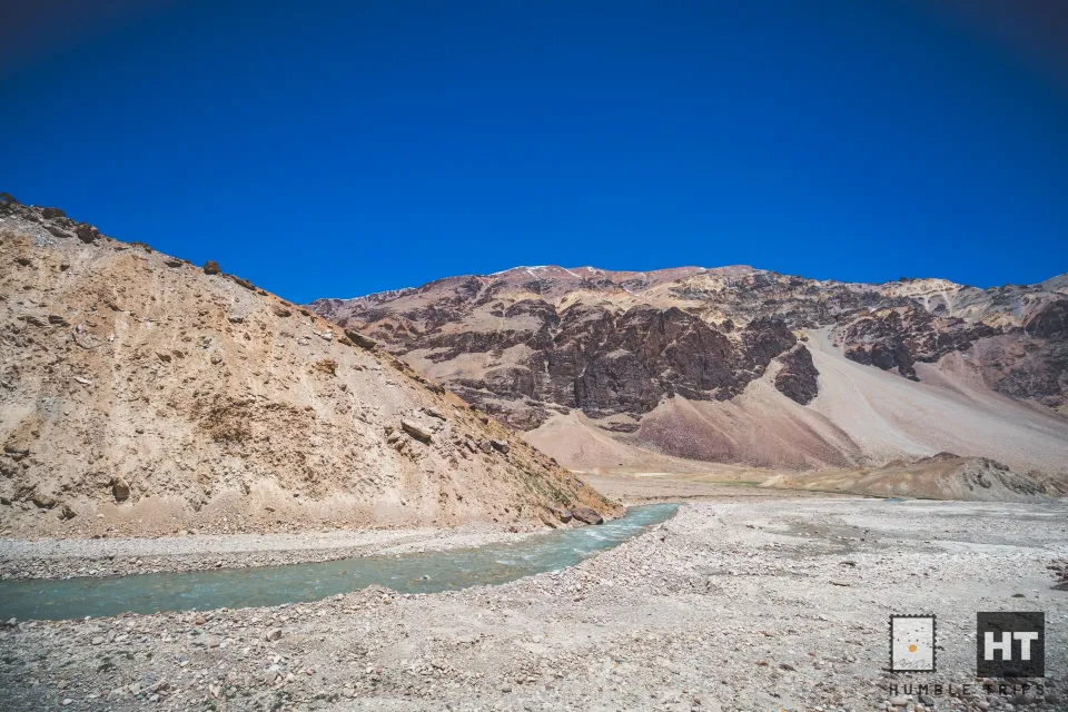
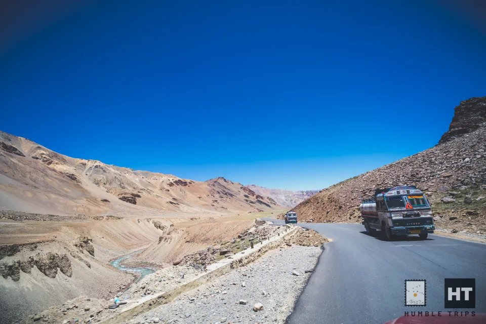
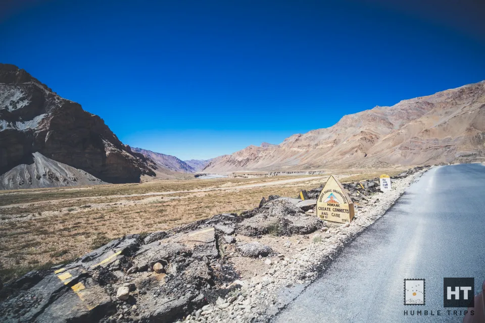
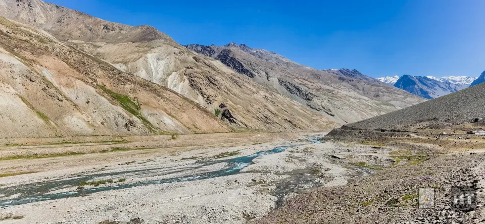
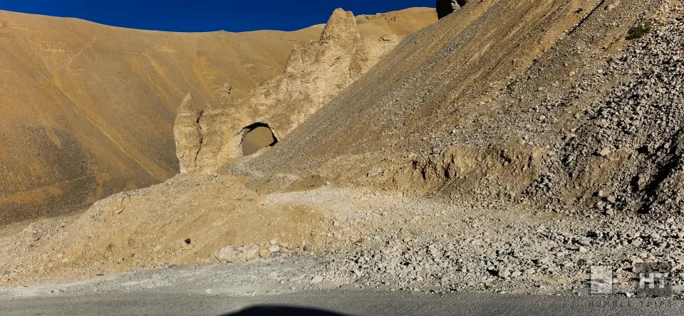
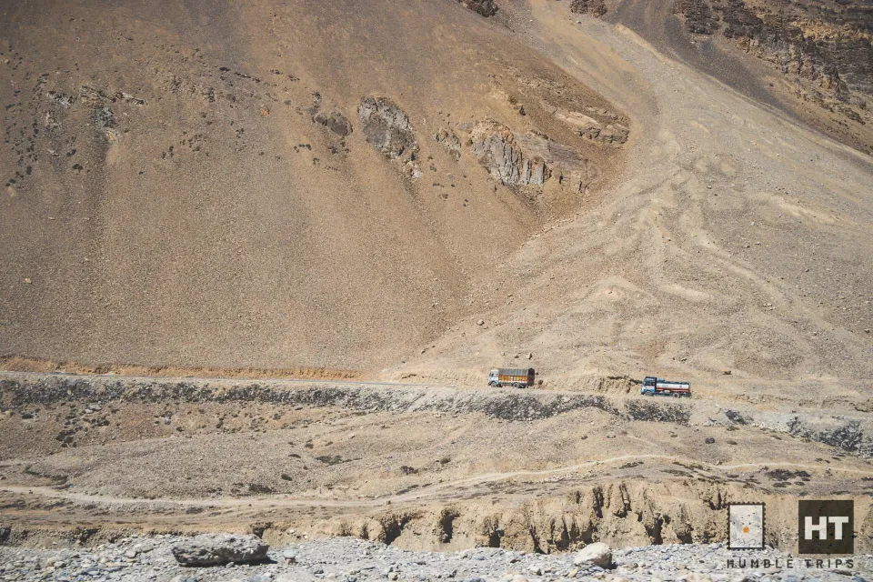
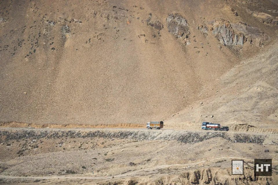
As we traversed the highway, there are many section greeted us with no road or mud roads, a stark reminder of the rugged terrain we were navigating. On one side, a serene lake shimmered, while on the other, snow-capped mountains stood majestically, painting a picture-perfect scene.
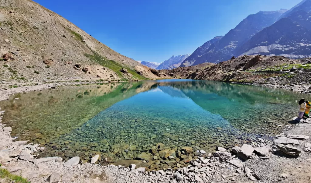
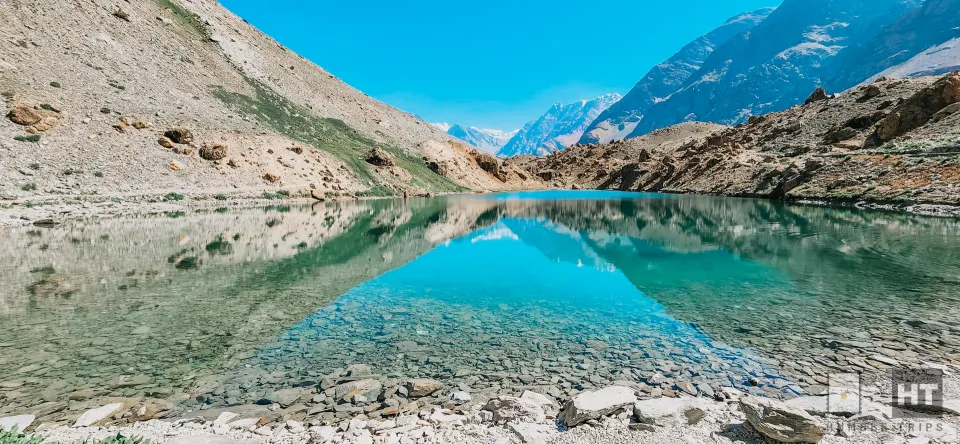
Deepak Taal
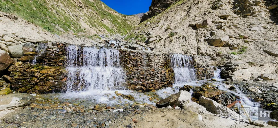
We reached Deepak Taal, a beautiful little lake, and took some time to enjoy its clear water and peaceful surroundings.
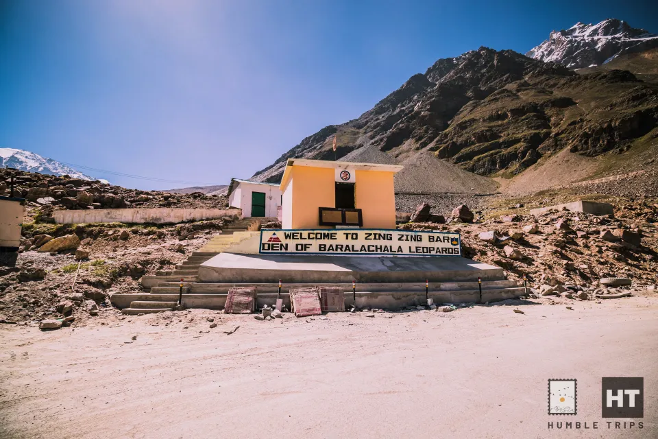
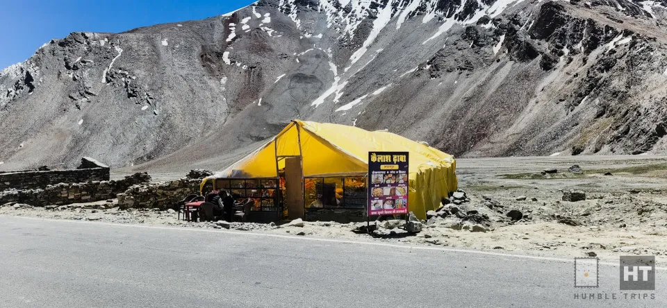
Zing Zing Bar
Then, we moved forward and found Zing Zing Bar, a funny-sounding place with a few cozy eateries.
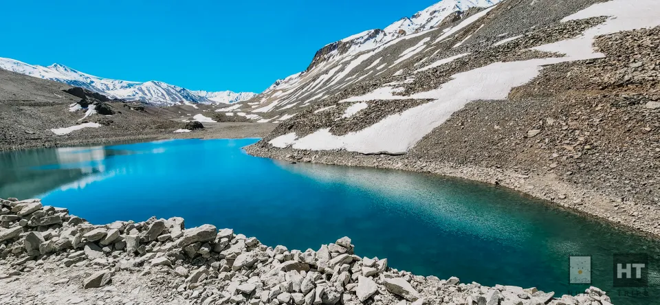
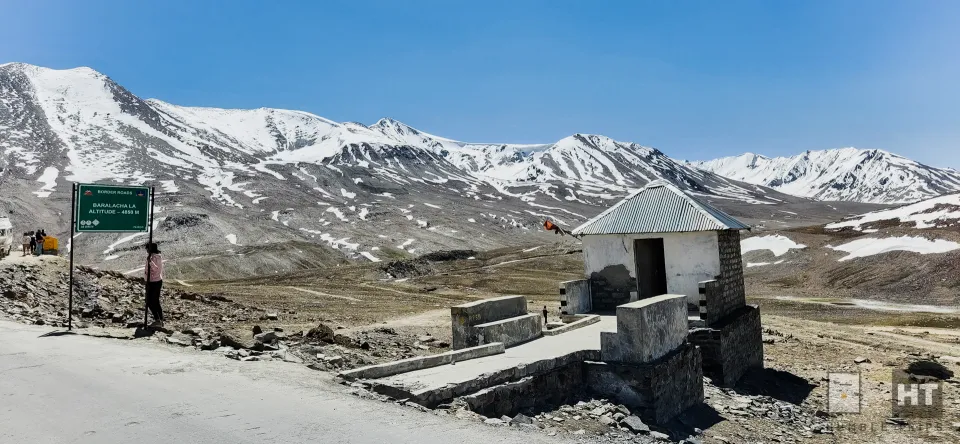
Suraj Taal and Baralacha La
But the real wow moment came at Suraj Taal pass, where we truly felt the impact of our journey. Standing at a towering 16,040 feet, Baralacha La stopped us in our tracks for a photo session at 10:20 AM, allowing us to absorb the stunning views all around.
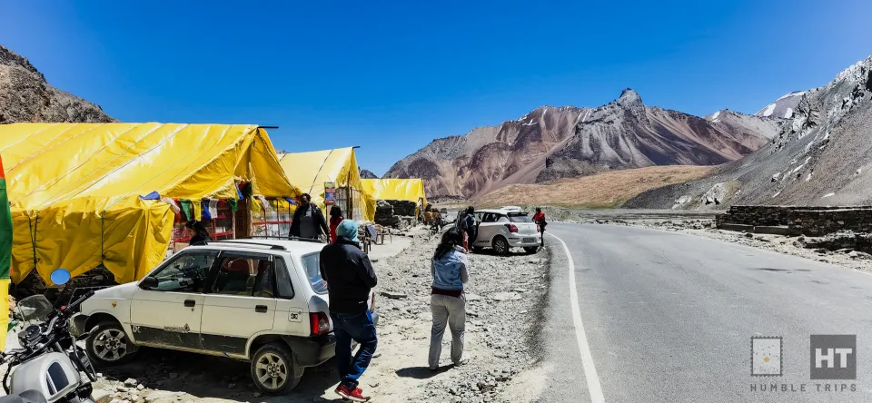
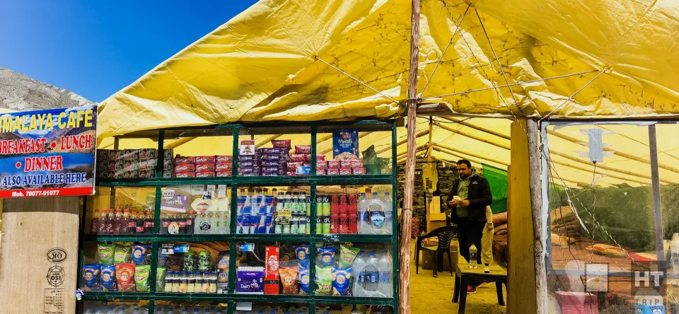
Bharatpur Tent Colony
After Baralacha La, we took a pit stop at Bharatpur Tent Colony where you get nice tents with some beds in the tent where you can rest and serves with delicious Maggi, momos etc. This is where you can refill your snacks, water etc and loo break.
Altitude Sickness is real and terrible
As we journeyed on, the altitude started taking its toll. My friend’s wife suddenly fell terribly ill, with bouts of vomiting and dizziness. Some bikers stopped to help us providing some garlic and said locals use it for AMS. Though it did not help and we pressed on to seek some help
With each passing kilometer, her condition worsened, and we desperately searched for help or a nearby shop. Realizing the gravity of the situation, we faced a tough decision – continue forward or turn back. However, the prospect of finding medical aid seemed uncertain until Manali.
Then, a ray of hope emerged as we spotted a military unit. We were told told the doctor was away and no way to help. A bit surprised by the cold response, we resolved to drive them to safety ourselves. Advised to either descend to lower altitudes or seek shelter to acclimatize, we made the difficult choice to press forward, with Leh still 250km away.
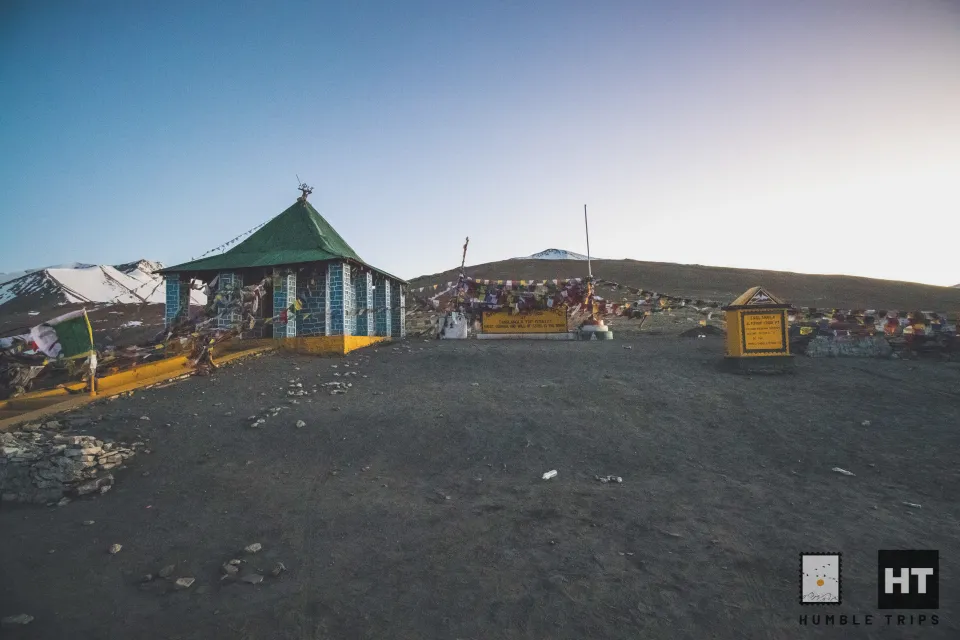
After a harrowing journey, we stumbled upon a camp near the Sarchu police check post. Though closed for the season, the locals welcomed us warmly and set up camp for us. It was a relief to have people around who could help.
By the time my friend was also getting into a dizzy state. We gave them some good amount of juices, diamox and water and gave a 2 hour good rest. We also took a nap to recoup some strength. So the plan was to return if some strength is regained or if we are absolutely sure we can go to Leh.

To check my state of affairs, I took a reading on my oxygen levels not just one time and I was wondering if the device was not correct or is it real
Altitude sickness is terrible. I had taken diamox since I started my trip and had consulted my doctor even before the trip, still it was a bit of head ache and tummy churn. After the short rest it was a sigh of relief to see them wake up with a smile though tired.
With a sigh of relief, we resumed our journey at 2:30 PM, knowing we had 250km left to cover. The reality of driving through mountainous terrain at night sank in, but we pressed on, navigating treacherous roads with determination. Despite the challenges, we remained steadfast, fueled by the hope of reaching Leh by dawn.
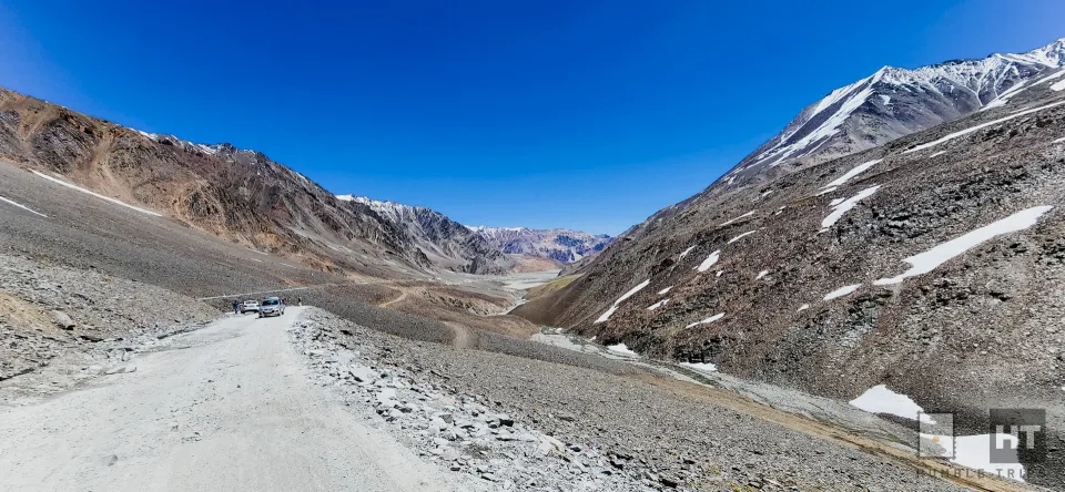
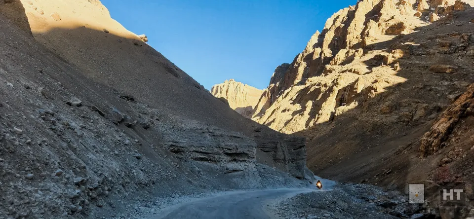
The Gata Loops
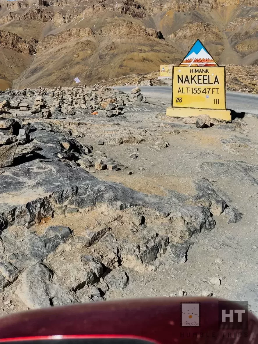
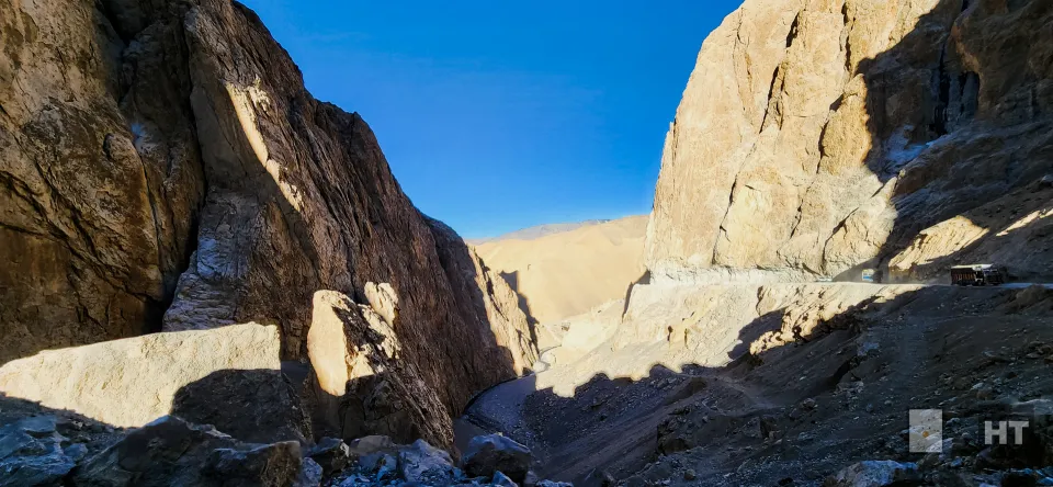
As dusk descended upon us, we navigated the treacherous Gata Loops, which winds up along the 21 switchbacks with Ghost temple of Gata Loops bringing us closer to the formidable Nakee La at 15,574 ft.We stopped for a short break after Gataloops where we could see some eateries. We also had to help some old folks struggling with altitude sickness to the car.
The land of La (passes)
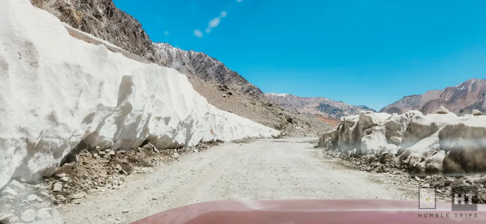
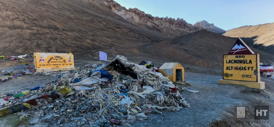
Yet, the journey was far from over. As we drove, the road kept going up until we reached the big Lachung La mountain pass, standing high at around 16,522 feet. It was 5:30 PM when the sun was disappearing slowly below the horizon.
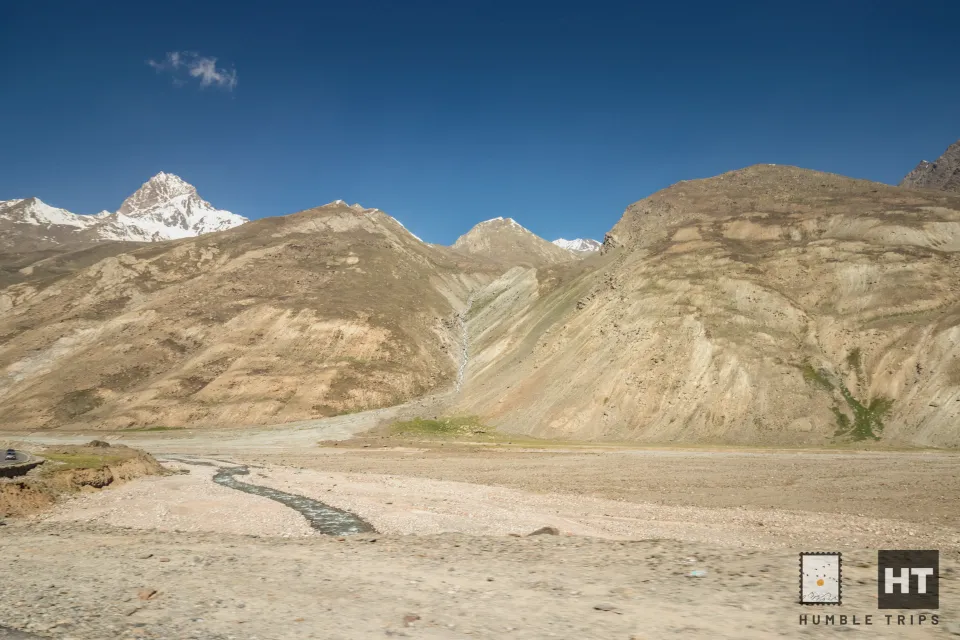
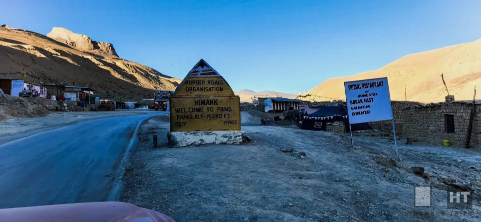
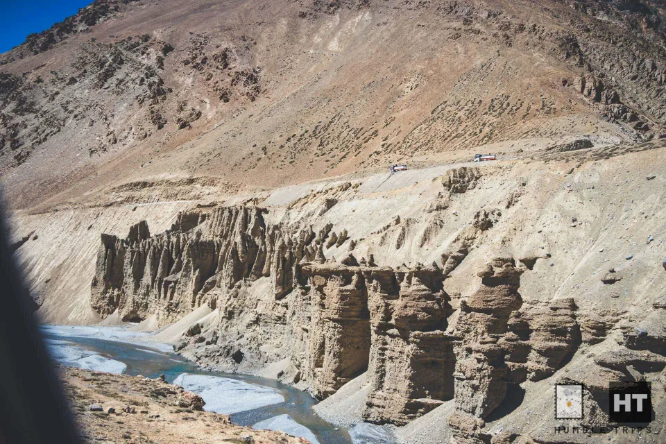
At 6:00 PM we were still 183 kms away from Leh.The descent to Pang at 15,280 ft is quite spectacular, particularly the last 5 km that the road passes through a series of dramatic gorges. There are small restaurants here
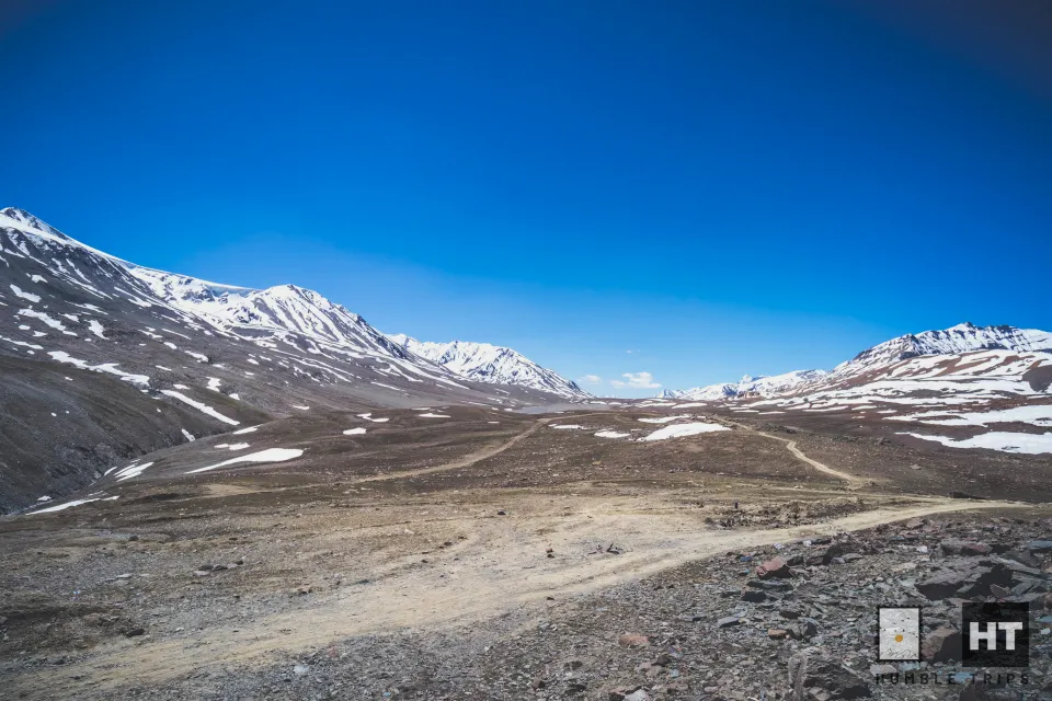
Morey Plains
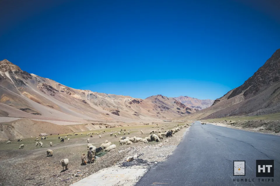
For a driver it’s a good rest period when stunning Morey Plains starts, a relatively flat piece of land for 40 km at 15,748 ft nestled among round-topped mountains.
Our journey reached its zenith as we traversed the windswept pass of Taglang La at 17,480 ft, a testament to our resilience and determination.
Finally, the road starts descending and the first village, Rumtse, is in sight; at around 13,779 ft, it is a delight for sore eyes. Usually, there are green and yellow fields to greet you in this first permanent Buddhist settlement in Ladakh on the Manali-Leh road. But for us the light was pretty low and driving was becoming more and more difficult
The road slopes down into the stunning Indus valley, following the winding Indus river. We reach the villages of Upshi and Karu, surrounded by trees and old monasteries, at around 3600 meters.
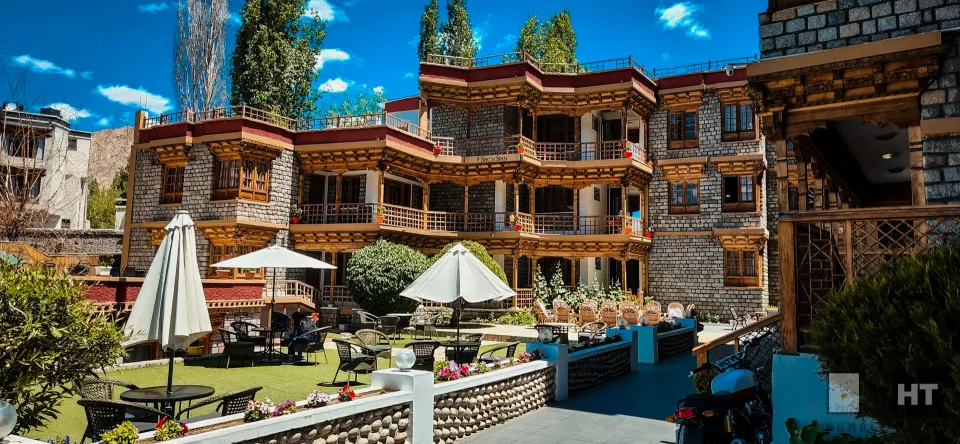
By 10 PM, we pass through Choglamsar and see a colorful gate saying ‘Jullay, Welcome to Ladakh’. If I remember correctly the fuel stations started spotting only after Karu. Finally, we arrive in Leh by 11 PM, where the streets are quiet and empty checking in at Spic n Span hotel. I just remembered crashing to bed.
Here is the route for Day 3
Lessons on this highway
- Accommodations are available till Jispa. There after it is mostly tented camps (best option could be Sarchu) or communal camps similar to Bharatpur Tented Colony. The next best option would be after Rumste till Leh
- Food is plenty till Jispa, then it is Zing Zing Bar, Bharatpur, Sarchu, after Gataloops, Pang, Morey Plains
- Fuel is last at Tandi, then near Karu so best to have some reserve in jerry cans or any fuel cans depending on the vehicle and mileage.
- Since we are climbing altitude pretty fast, if anyone with altitude problem, best to have medicines before the trip after consulting the doctor.
- Night driving can be nightmare with deep valleys, sharp turns, road under constructions, bad road and lastly weather. So plan for unexpected events and start early as much as you can and go slow. Try to reach Leh before dark or the least after Rumtse.
- Mechanics and parts shop is a distant dream after Keylong. But people are mostly helpful and they could stop and help you from both sides.


I like it!!!